
Crime data methodology, coverage and limitations
How official street-level crime records move into this site, what changes in that process, and what must never be inferred from the result.
This method explains what powers the crime map, postcode reports and local-authority rankings. It also shows what each tool cannot prove.
1. Street-level source and how we present it
A source record is not a court result
CrimeRate reports and organises records from the complete current official street-level crime archive. Search results, maps and individual record pages present them simply as official crime records; the publisher and technical provenance are documented here instead of repeated throughout the site. An official statistical category is not a court finding, a charging decision or proof about a named person.
The site checks the archive's latest available month once per day and imports every published street-crime CSV only when a new dataset is available. A daily check does not imply daily crime updates: The source supplies an incident month, not an incident day.
2. Privacy and coordinate accuracy
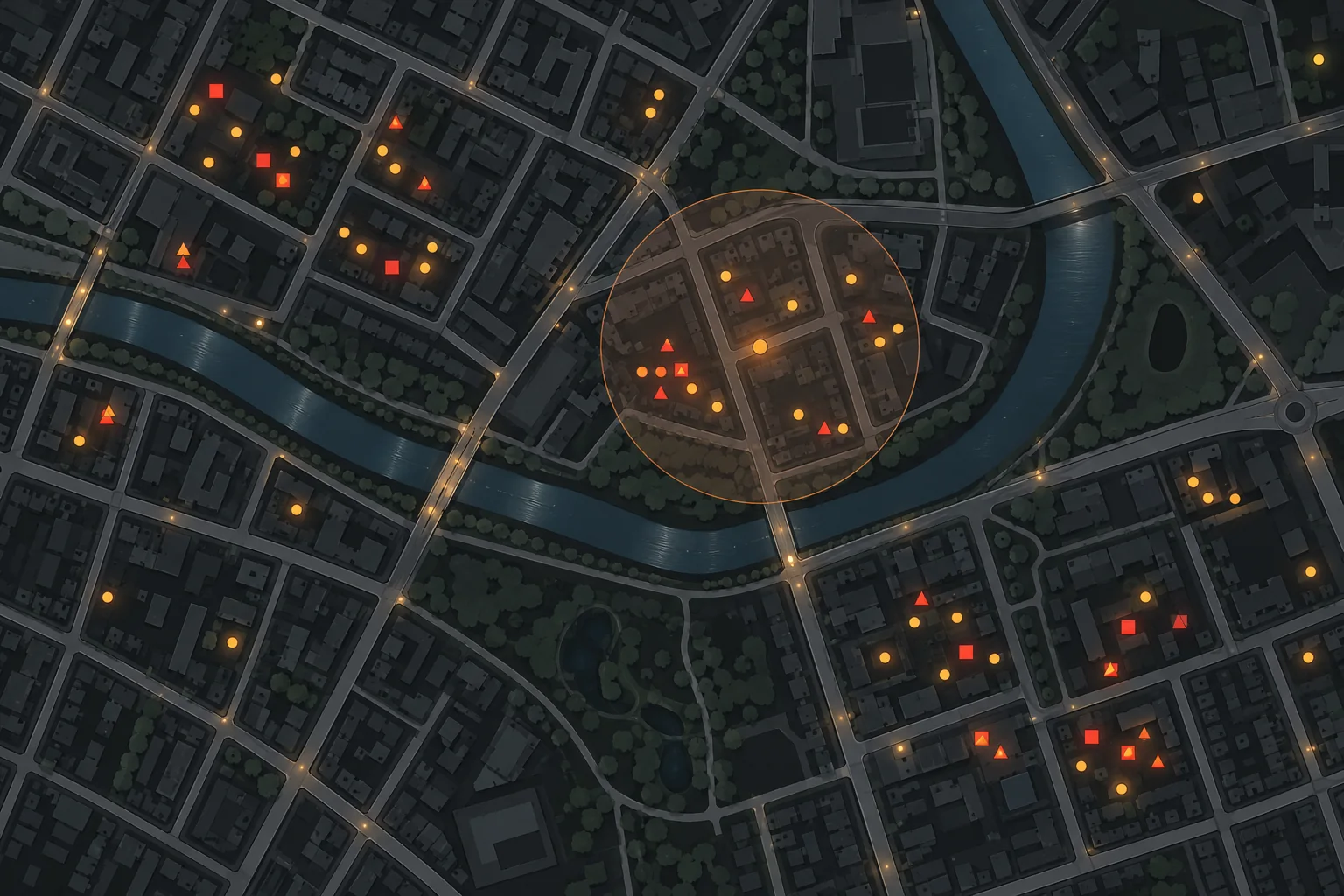
The marker protects an exact location
The source relocates coordinates to nearby anonymous map points. We preserve the supplied coordinates and street label without geocoding them to a property, enriching them with personal data, or claiming they identify the exact scene.
3. Deduplication and provenance
A persistent source crime ID is used where supplied. For records without one, a deterministic source fingerprint preserves repeated anonymous records without treating them as one event. Re-running an import updates source fields rather than creating duplicates. Every sync records its dataset month, rows seen, rows written, completion state and any error.
4. Geographic coverage
A missing force creates a real gap
The importer retains all rows in the current nationwide archive, including records without mappable coordinates. The map can display only records with an anonymised point. Scotland appears much lower because only British Transport Police contributes there. CrimeRate does not present this feed as complete Scottish territorial crime coverage.
Greater Manchester is a separate coverage gap. Greater Manchester Police has not supplied street-level crime, outcome or stop-and-search files to the central archive since July 2019. Current Manchester map totals would therefore be incomplete, so the map and rankings identify the gap instead of treating a missing submission as zero crime. Birmingham records are supplied through West Midlands Police files.
5. What a rate requires
The denominator must match the question
The map displays counts. A rate divides a count by a relevant measure of exposure during the same period. Possible denominators include:
- Residents for a defined population area.
- Households or vehicles for an offence tied to those units.
- Footfall or daytime population for busy centres with many visitors.
CrimeRate labels each calculation and source. It does not describe a raw count as a rate.
6. ONS context
The ONS Crime Survey for England and Wales is generally more consistent for long-term trends in the offences and household population it covers because it is less affected by reporting and recording changes. Police-recorded crime has wider offence coverage but excludes incidents not reported or recorded.
7. Corrections
Source-data corrections are handled in the next sync. Editorial corrections update the article, date and correction note. We never silently rewrite a material claim while retaining an older review date.
8. News discovery and incident matching
A daily news search is an editorial lead generator, not proof. A candidate must contain the offence, covered area, approximate street phrase and source month, and must not match several records. It then remains private until an editor checks the complete report and confirms it describes the same incident. Failed, incomplete and ambiguous matches are never linked.
9. Police contacts and responsible-area matching
A daily job checks whether the official force, neighbourhood and station directory needs refreshing; the full directory is refreshed at least weekly. For each labelled crime record, CrimeRate uses the privacy-protected map point - Not the label text - To ask the official directory which force and local policing team is responsible. A station is considered only when that exact area record supplies one. This prevents a station from another force being shown merely because its coordinates are more complete.
Direct station telephone numbers, local-team numbers, addresses and links are shown only when supplied by the official directory. The number 101 is identified as a force or national non-emergency number, not a station direct line. A station listing does not prove that a public front counter is open, so readers are told to call before travelling. If the responsible area cannot be resolved reliably, the site shows official national reporting routes instead of guessing.
10. Place, postcode and radius searches
A centre point is not a boundary
A submitted place name is resolved through the Ordnance Survey Open Names place index provided by Postcodes.io; the map uses the returned named-place centre, not a boundary. A full postcode is resolved to an approximate WGS84 postcode centre. An outward district such as UB8 can also be submitted; in that case the map uses the district's approximate centre and explicitly warns that the search circle is not the postal boundary. CrimeRate sends the entry in a request body rather than placing it in the page URL and does not write it to the site database. The lookup service may retain operational logs under its own policies.
The selected radius is applied in MySQL as a true circular distance filter, not merely a square map boundary. Results remain official records at anonymised points, so a place or postcode search must not be interpreted as crimes at a specific home or as a complete measure of personal risk. Scottish territorial-force coverage remains unavailable through this feed.
The Crime by Postcode pages use the outward part, such as UB8. Postcode districts are postal constructs rather than official statistical areas, and an openly licensed authoritative boundary file is not available from ONS. CrimeRate downloads the public current-postcode centroids from the official ONS Postcode Directory and builds a local nearest-neighbour index. Each unique anonymised source point is assigned locally to its nearest current postcode within two kilometres; no crime coordinate is sent to the postcode service. We retain the matched postcode’s outward code and publish annual and monthly aggregates only after every mappable point in a completed national archive has been processed. One assignment is reused by all records snapped to that point. This avoids pretending a centroid-based circle is the district boundary.
Annual and monthly figures are raw published-record counts. We do not calculate a per-1,000 postcode-district rate because there is no matching authoritative postcode-district population denominator. Partial years are labelled and never compared with complete calendar years.
11. Record-page comparisons and population context
Area facts describe places, not people
Where a record supplies an LSOA code, the page compares the record’s anonymised location label with other published labels in that same LSOA over the preceding 12 months. Indexed LSOA queries keep this analysis fast and avoid pretending that a street label is an exact address.
The area_population_estimates table stores the latest ONS small-area resident estimate for every England and Wales LSOA. Because the crime record supplies the matching LSOA code, CrimeRate can calculate a clearly labelled 12-month published-record indicator per 1,000 residents on a like-for-like geography. A precomputed national benchmark compares that rate and the local offence mix with all England and Wales LSOAs having both crime-record and ONS population coverage. The page also identifies the largest offence group, compares the latest three months with the preceding three and measures how concentrated records are at the selected anonymised label.
The separate area_population_profiles table bulk-loads 2021 Census age, sex and broad ethnic-group counts for all 35,672 England and Wales LSOAs. The area_context_profiles table holds population density, Census household-deprivation dimensions, accommodation type and tenure. English LSOAs also receive the corrected 2025 Index of Multiple Deprivation and domain deciles; the overall index is explicitly identified as partly circular in a crime comparison because crime is one of its component domains.
Generated sentences compare source values, medians, percentiles and category shares. They describe associations and deliberately avoid causal language. Resident rates can overstate activity around city centres, stations, shops and nightlife because visitors are absent from the denominator. Census characteristics describe the area, are not joined to individuals and must not be used to infer who committed an offence.
12. UK law library and legislation search
The whole-statute search sends the reader’s selected title or text query, legislation type, year and territorial extent to The National Archives’ Legislation API. Results link to the official current legislation record. The search catalogue is broad; it does not mean every returned provision is in force, applies to the reader’s circumstances or creates a criminal offence.
Sentence and offence explainers are a smaller reviewed layer. They cite the applicable primary legislation and current sentencing source, state the jurisdiction, and separate a statutory maximum from a guideline range. Source-text changes flag those explanations for human review rather than triggering an automatic legal rewrite.